Geography, Regions and Dialects
- Have you ever been to the United States? Where and when? Share your stories with a partner.
- Where would you like to visit? In which part of the country? Which state(s)?
- Can you take a guess at approximately how many people live there?
- As the country is extremely vast, can you name some similarities and differences that you would find if traveling from one end to the other?
USA - Geography
The birth of the US goes back to 1776, when 13 British colonies were established on the Atlantic coast. Today it is a federation that consists of fifty states, 48 of them on the mainland. The two last states to be included in 1959 were Alaska and Hawaii, both physically separate from the other states. In addition to the fifty states, the US also consists of Washington DC (District of Colombia), the free Commonwealth of Puerto Rico, the Virgin Islands and some Pacific Islands, like Guam.

The nation is huge, with enormous distances; it is the third largest country by size in the world (after Russia and Canada) and 30 times the size of Norway. If you were to drive a car the 4,500 km from the eastern to the western coast, it would take you five to six days. A coast-to-coast trip by train takes you three days. From Canada to Mexico it is 2,500 km. In comparison, the distance from Oslo to Paris is 1,600 km.
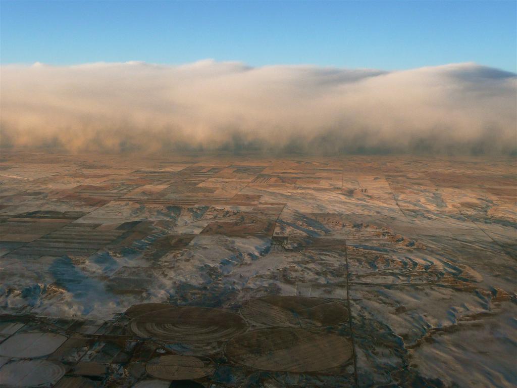
The landscape, climate and topography can vary even within a short distance. In California, for instance, it does not take long to travel from sun and sea to mountains and snow or to the desert.
The USA has approximately 328 million inhabitants, making its population the world’s third largest (after China and India). The US is also much more sparsely populated than Western Europe. Each American – in theory – has more space than people in Western Europe.
We can divide the nation into the following four main regions: the Northeast, the Midwest, the South and the West. There are great differences in size and population between the regions.
Although Americans tend to relocate a lot, each region has its own distinct characteristics, especially when it comes to race and cultural background. We also see that people within a region share common values. They share concerns over economic questions, and they identify with the history and traditions of their region. Food is one example of such traditions. Local dishes may vary a lot, from the seafood dishes of coastal states like California, or the Creole dishes of New Orleans, to the piles of steaks devoured by meat-loving Texans.
Dialects also vary greatly. It is not difficult to recognize the difference between a man from the Northeast, for example a city like Boston, and an American from the Midwestern State of Kansas. In addition, the styles of speaking may be different. Farmers of New England are known for their short, concise sentences, and for being men and women of few words, while others, for example people from the South, often talk in a very slow manner.
Considering the size of the USA, it is easy to understand that people from the Northeast feel closer to Europe than for example Texans might, both as far as news coverage and other forms of culture are concerned. Texans, on their part, have Mexico and other Latin American states as their closest neighbors, and are therefore more heavily influenced by Mexico and Mexican culture.
True or False?
Comprehension:
How many British colonies were there in 1776?
How many states are there in the US?
What were the last two states to be added to the federation?
What is the difference between Washington DC and Washington?
How many times larger is the USA than Norway?
Approximately how many inhabitants are there in the USA?
What are the four main geographical regions called?
Give examples of how these regions are different.
Vocabulary
Make a table with the following words in your text editor and fill it out.
English | Translate into Norwegian | Make a sentence using the word | Possible synonym |
|---|---|---|---|
Approximately |
|
|
|
Similarities |
|
|
|
Federation |
|
|
|
Consists |
|
|
|
Comparison |
|
|
|
Topography |
|
|
|
For instance |
|
|
|
Desert |
|
|
|
Inhabitants |
|
|
|
Sparsely |
|
|
|
Tend |
|
|
|
Relocate |
|
|
|
Common values |
|
|
|
Concerns |
|
|
|
Devoured |
|
|
|
Recognize |
|
|
|
Manner |
|
|
|
Coverage |
|
|
|
Filer
- Table vocabulary(DOCX)
Relatert innhald
An easier version of the article "US Geography, Regions and Dialects".
The Midwest area extends from the Appalachians to the Rocky Mountains, and it largely consists of flat countryside, ideal for farming.